Tagish Y.G. Campround, Tagish, YT – May 31, 2014
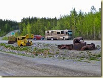
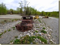
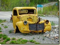
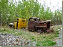
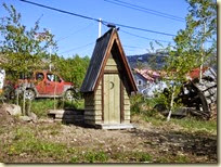
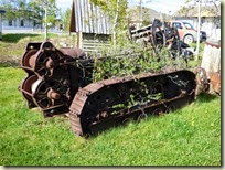
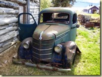
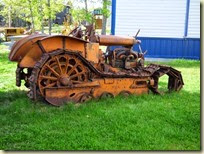
Our boondocking spot was nice and private last night. This is the south end of the Canol Road. Canol is an abbreviation for ‘Canadian Oil’. This was a 135 million dollar boondoggle back in the 1940’s to send oil by pipeline from the Northwest Territories to Fairbanks. It was used once then shut down. That was some very expensive oil. The equipment used to build the pipeline and road were abandoned in place. This little park where we boondocked has a nice display set up with lots of the abandoned trucks sitting around.
On our last trip to Alaska in Big Guy, we had declared the cinnamon buns in Johnson’s Crossing to be the absolute best on the Alaska Highway. We hope to verify that finding on this trip. But, fate intervenes, and we find Johnson’s Crossing out of business. So, to date, on this trip the award appears to be going to Testa River Lodge.
We continue on to Tagish where we’ll be staying at the Yukon Government campground. We have the coordinates locked in on the Garmin GPS, but the Microsoft Streets & Trips program shows a different location for the campground. The contest to see which device is the closest is on.
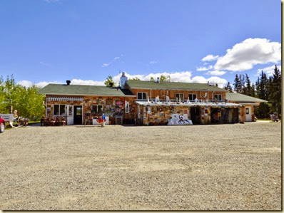
The Garmin wins. We select a a nice sunny space so the solar panels can do their work and we pack up the Element for the 60 mile excursion to Atlin. Oops! Forgot Frank’s sunglasses. Then Frank’s sunglasses get lost. More oops. Forgot EJ’s camera’s memory card. After all this, we had to stop at the 6 Mile River Resort and calm ourselves with some coffee and a huge ginger cookie.
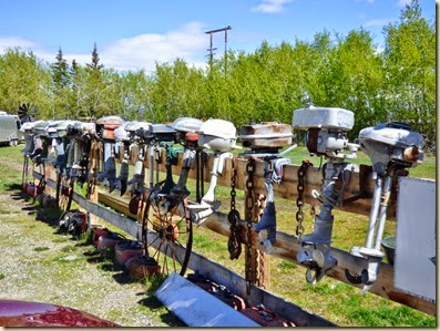
Frank, on the way out, stops to admire all of the old outboard motors on display.
Ok, now we are really on the way to Atlin!
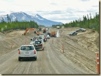
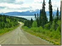
We have a potential Moose sighting along the way. The first we’ve seen so far. The road is interesting, changing from pavement, to gravel, to dirt and construction, back to gravel then pavement along the way.
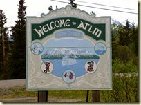
After a sixty mile trip and a cup of coffee, we arrive in Atlin. A restroom was real high on our list of priorities. So we head to the visitor centre thinking that they always have restrooms. Uh oh! This one is an unmanned kiosk. Our next stop is the local library. No bathroom, but there is an outhouse out back. Good enough!
While we were there we checked out the mechanical displays.
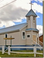
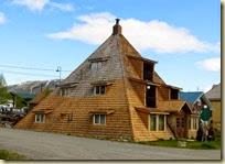
It’s pretty windy today, and with the cool temps, it chills you right to the bone. So we drive around to see the sights and to check out a few of the local businesses. The library had a gallery where local artists displayed their works. Some were quite awesome.
The other shops we found, even though they advertised artistic goods, were really just local grocery stores. We did find out that the local filling station also had a great restaurant where we had an avocado chicken wrap with a chipotle sauce surprise and a wonderful meat and barley soup. The chipotle sauce was at first almost un-noticeable, then it began to warm your mouth to the point you wondered if it would ever quit. I got mine on the first bite and EJ didn’t get hers until the end. I‘m not sure who was luckier. But it was all good.
The Element car alarm decided to go off while we were eating. First time that’s ever happened.
Atlin’s claim to fame is gold. The newspapers at the time claimed it to have the largest gold deposits in North America, bigger even than the Klondike. Many hardy men and women on their way to the Klondike, changed direction and came here instead. The journey to Atlin from Skagway was much safer and shorter. Even today, estimates say there are millions of dollars of gold being mined in the surrounding area. Since the operations are all private, estimates on the value of gold being extracted are based on supplies purchased and the size of the miners payroll.
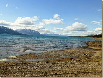
EJ read about a place where you could view the Lllewellen Glacier near Atlin. And we go off in search of that. We end up on a gravel road (no surprise here as most roads around here are gravel) whose street name doesn’t agree with the brochure, but seems to be in the right place. We figure it’s about a 15 mile drive and we keep going and going. We pass a rock strewn beach.
We see a hand lettered sign that says “Public Warm Springs, 100 miles” with an arrow to the left. figuring it is someone’s idea of a joke, we continue straight on. Eventually our little gravel road narrows down to a path barely wide enough for a single car and it has a sign that says “Unmaintained Road”. Hmmmm!
EJ then then reads here brochure again and says the Glacier over look is at a business named Sudkins. Oh, we passed that way back at the beginning of this gravel road.
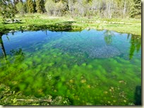
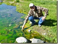
After we turn around, Frank spots this little road and turns on it only to find the warm springs. This would be a perfect spot to boondock (except for the road to get here)!
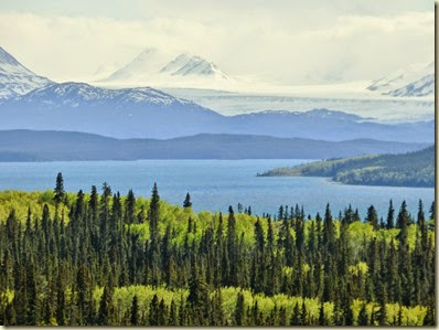
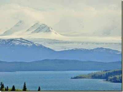
We finally find Sudkins and proceed up the hill to the one car parking lot. As we turn around to go back down the hill we spot the glacier. And it’s big! What a view.
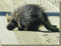
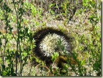
Our adventure is done for the day, we head back to Big Guy. At one point we stop to see a porcupine that appears to be licking the road. He saw us and waddled for the bushes.
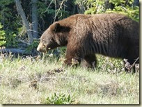
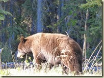
Then we see another black bear only this time with a brown coat.
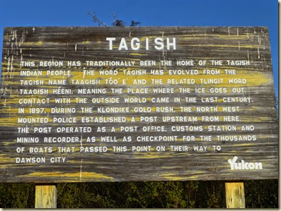
Back at the campground, we take a walk down to the river and find a memorial plaque. It explains how the area got it’s name. The plaque was hard to read, but this sign says essentially the same thing.
Time to call it a day, but it’s hard to go to sleep when the sun is still up. Only three weeks to the summer solstice.




No comments:
Post a Comment