Wrangell View Campground, Chitina, Alaska – August 15 through 16, 2014
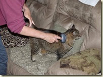
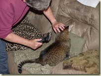
On our last morning in Valdez, Mocha demands to be properly groomed and massaged before embarking on the next leg of our voyage.
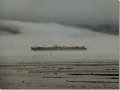
After completing the grooming to her satisfaction, we leave the Chena RV Park and take one more pass by Allison Point hoping to see some bears or eagles. Valdez has been drizzly for several days now and today is no exception. That’s a huge barge peeking eerily through the mist. Alas, no bears or eagles to be seen.
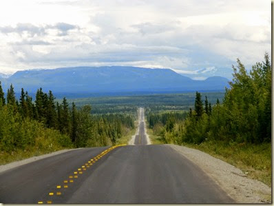
Once we get on the northern side of the Chugach Mountains, the weather begins to clear. Soon we reach the Edgerton Highway turnoff and the road stretches out in front of us.
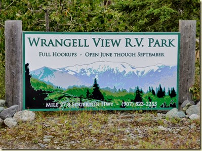
Frank is pretty sure he remembers the location of the campground near Chitina where we want to stay the next few nights. Before long, it becomes obvious, the details of it’s exact location have become a little fuzzy.
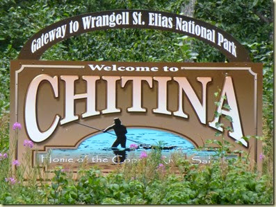
We’re already at Chitina and there’s no campground to be found.
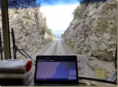
We were beginning to wonder if we are going to fit through this narrow cut.
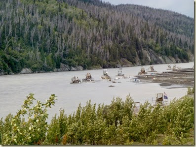
But we did get a great view of these fish wheels, devices that use water power to scoop up fish.
Admitting that traveling further in this direction will not result in the desired campground magically appearing, we find a place to turn around. We drag out the MiFi not expecting to find a signal only to be totally surprised. This tiny little town has a 3G signal. So we fire up the iPad, locate the web page for the campground, read and understand the directions this time, and mosey back the way we came. And voila! Several miles back on the other side of town is our campground.
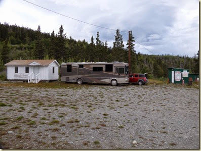
We pick a spot.
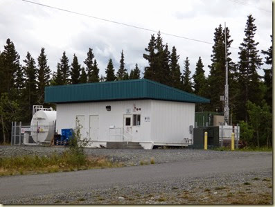
Locate our own personal cellular antenna with diesel backup power.
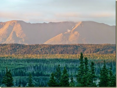
And enjoy the evening view. The sunlight plays visual tricks with the trees and mountains to create a colorful display.
That evening we’re pretty busy packing since we’ll be spending two days and one night away from Mocha and Big Guy while we visit McCarthy and Kennecott.
Saturday we get away around mid-morning. We have a 2PM check in time, and we have 60 miles of rough road to drive that will take around 3 hours to negotiate. Driving back toward Chitina this guy is waving at us.
Then we reach the 60 mile road.
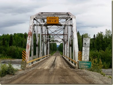
One of several bridges we will cross over.
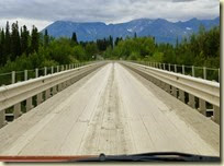
This one is a single lane, has a wooden surface, and was originally built as a railroad bridge.
About this time I’m really craving a cup of pure caffeine. EJ checks the MilePost Guide and verifies that there should be a place to get some just ahead.
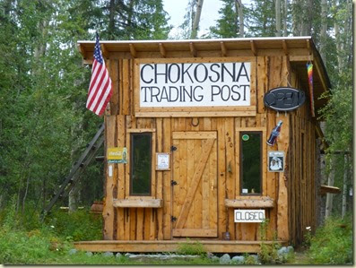
Oh no! It’s closed.
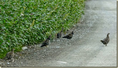
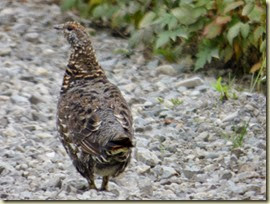
We continue driving, dodging grouse as we travel along.
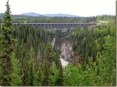
We find another bridge, and become really glad we didn’t try this in Big guy. The bridges are getting smaller as we go along.
EJ says that according to the MilePost, there is one more chance for coffee before we reach our destination.
Great! It’s closed too. Guess I’ll just have to tough it out.
Soon we arrive at our accommodations for the evening, the Currant Ridge Cabins in McCarthy. Upon checking in, we learn there is a huge party planned for the evening. There’ll be a pig roast, go withs, amplified music, and you even get to pick your own veggies out of the garden. EJ steps in and makes agreeable sounds while Frank stews in his own sauce for a few minutes. I had wanted a nice quiet cabin in the woods, and instead I get a huge party. Well, EJ quickly points out the flaws in my attitude and pretty soon I’m on board and looking forward to a party.
The owner, sensing my apprehension, I think, assigns us to a cabin as far as possible from the sound stage. He even offered earplugs.
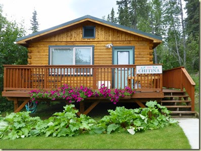
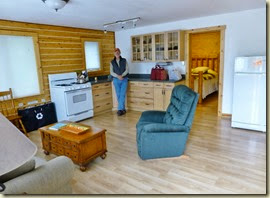
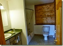
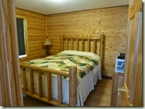
Our cabin turns out to be wonderful, and we are immediately sorry we only signed up for one night.
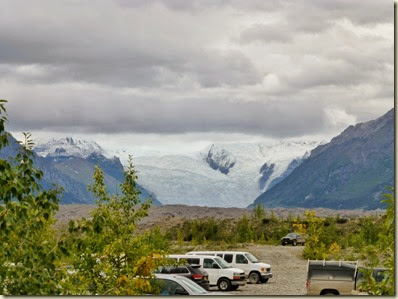
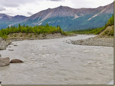
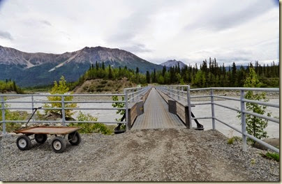
Once we’re unpacked, we hop back in the car and head for the footbridge to McCarthy, as outside vehicles are not allowed over the Kennecott river. Nice views from the parking lot.
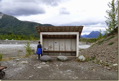
We make it over the river and wait at the shelter for a shuttle to come by and deliver us to Kennecott about 5 miles away.
There is another privately owned vehicle bridge that sells commercial and residential annual passes, but the cost is high enough that it discourages casual traffic. Another way locals get their vehicles across the river is to simply wait for it to freeze. We were told that some locals kept using the foot bridge with their vehicles and that’s why there are bumper wedges to make it even narrower.
Our van arrives in a thunder of rattles and squeaks. As we climb aboard we can see that it has led a very hard life and we soon find out why. The road to Kennecott is a collection of potholes loosely tied together with more potholes. Occasionally there is a patch of dirt or gravel thrown in just to get your hopes up. As we ride along, EJ and I start making bets on what part of the van will fall off first as everything is shaking and cracking.
As we arrive in Kennecott, along with our cacophony of rattles and squeaks, the shuttle lets us off right in front of the St. Elias Alpine Guide center. They just happen to be the only concessionaire allowed to provide tours of the Mill (part of the National Park). We got lucky and snag two tickets and immediately begin the last tour of the day.
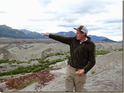
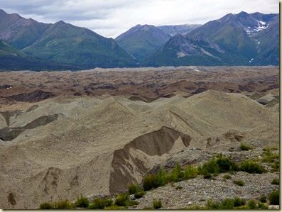
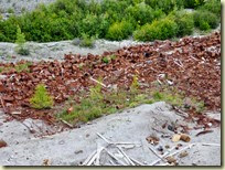
Hunter will be our most excellent guide for the next 2 hours. He is showing us Kennicott Glacier which we originally thought were tailings from the mining. Upon closer look we see the ice below the dirt and gravel.
Legend has it that in 1900 “Tarantula Jack” Smith and Clarence Warner spotted a green spot on a sawtooth ridge that appeared to be grass which would be very suitable for grazing sheep. “Tarantula Jack” then found some copper ore in a nearby creek and quickly put 2 and 2 together and realized that wasn’t green grass, that was copper. That green patch later became the Bonanza Mine, the purest copper ore mine in the world. Bonanza Mine and National Mine became the core of the Kennecott mining operation.
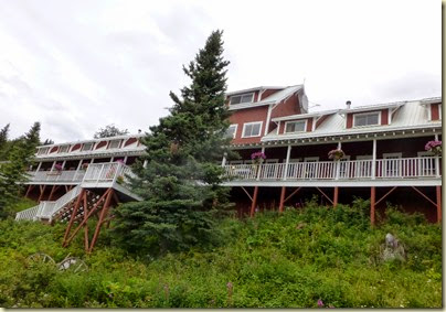
First we walk by the Kennicott Glacier Lodge. The original building was constructed in 1916 to house management families and couples that were employed at the mining operation. In 1983, it burned down. A year later it was rebuilt as a lodge.
We listen with rapt attention as Hunter explains that things here are pretty much as they were left when the mill closed in 1938.
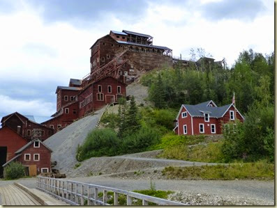
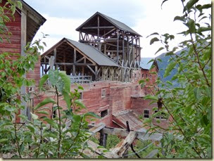
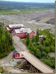
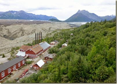
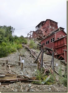
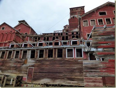
This is what we are going to tour. A 14 story high wooden building, supposedly the tallest wooden building in North America.
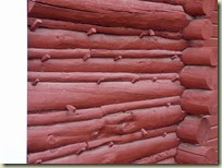
Some classic log building construction. No nails, just wood pegs that hold some of the smaller buildings together.
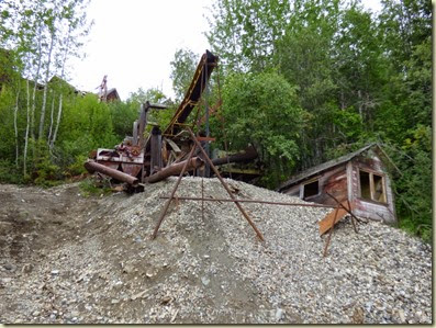
On our journey to the top of 14 story mill we pass by a much more contemporary operation that sought to refine the copper ore leavings to recover even more copper. This falls under the category of “What were they thinking?” as the Kennecott Mine was recovering 97 percent of the available copper ore from the rocks. Plus at the time of this later operation, there was no road or railroad available to move the refined ore so they used airplanes. You have to give them credit though, it only took three planeloads before they figured out it wasn’t going to be profitable and shut down the operation.
Finally we reach the top of the hill where we will begin our descent into the dark bowels of the remains of the Kennecott Mill.
Wow! The view from up here is pretty impressive.
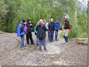
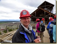
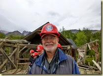
Suitable attired, we are ready to begin.
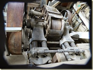
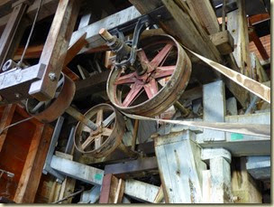
Repetitive processes used throughout the mill insured that every bit of processable ore was removed from the surrounding rock. At 97 percent, this was a pretty amazing feat for the first third of the 1900’s. The crushing, grinding, sorting and shaking processes went on 24/7. The noise had to be maddening.
We’ve descended 14 floors through the Mill building, and are now on to another building.
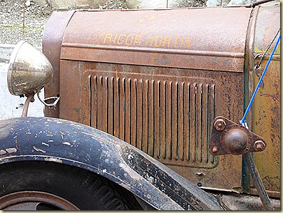
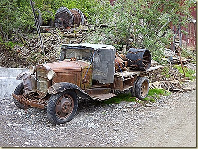
We pass by an old truck, aptly named (Rigor Mortis). Notice the “snow tire” on the truck bed. They just changed out the whole axle come winter.
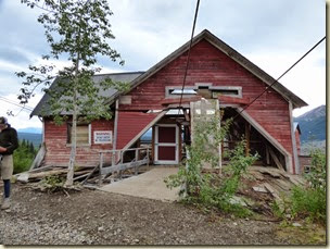
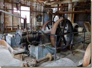
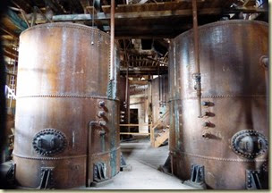
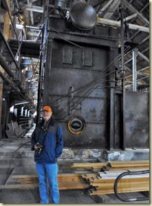
The last building on the tour was the power house. Here oil fired boilers produced steam that provided heat for the town and spun turbines for electricity.
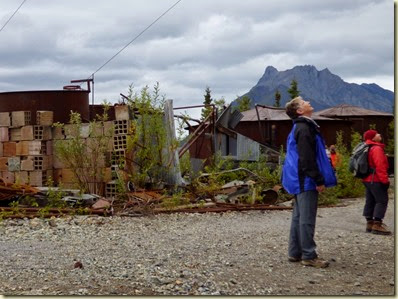
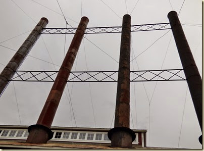
Outside everyone seems to be staring up at something, so we stare too.
Oh yeah! Smokestacks.
In the end, the depression of the early 1930’s and the falling price of copper spelled doom for the Kennecott Copper Corporation. By 1938, the Kennecott Mill was no longer in operation.
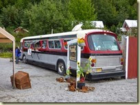
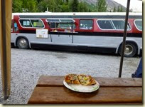
Famished after our 2 hour tour we seek out “The Bus” for two reasons. One, outside of the Glacier Lodge it is the only place to eat in Kennicott and two, we’ve heard they have great pizza! And they do!
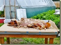
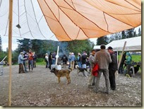
The last shuttle back to the footbridge is at 7:30PM so we wander back to the pick up point with plenty of time to spare. But by the time we arrive back at the cabin, the roast pig is gone and nobody is playing any music. So we hang around for a while, waiting for the music to start.
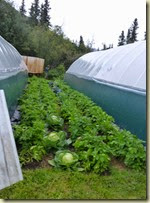
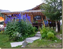
We take a walk around the main house and gardens. These guys are pretty self sufficient.
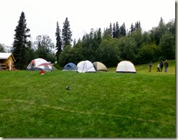
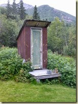
This is a big deal for the community and some people are even going to camp out instead of go home after it’s over. But how are all those people going to fit into one outhouse?
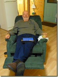
Back in the cabin, Frank volunteers to take the recliner. And we call it an evening. Big day tomorrow as we head out for a hike on Root Glacier.
As to the burning question of Kennecott or Kennicott, here’s the best I can describe it. The glacier and the town are spelled Kennicott. The mining company was supposed to take the name of the glacier, which was named for Alaskan explorer Robert Kennicott. But, the name was misspelled. So the mines and the company are spelled Kennecott. Confused?


No comments:
Post a Comment